It’s planning season!
If your trip is in late spring, you need to get into high gear. Summer isn’t far behind and you’ll have plenty of company in both areas. For autumn, it wouldn’t hurt to have your planning underway.
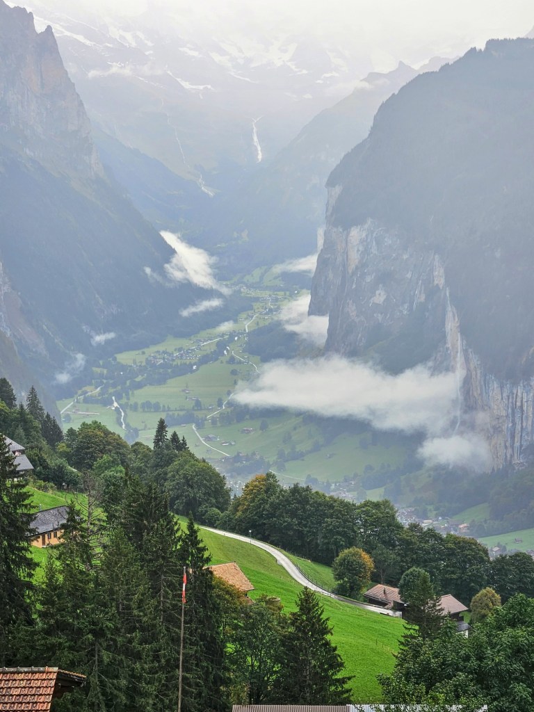
A couple of years ago we ran into a forlorn and confused couple at the Lauterbrunnen train station. Their lodging host had promised to meet them at the station and escort them to the property. But no one had greeted them. Showing us a map sent by the owner it was clear to us: the travelers had no idea they were staying in Wengen, a further 20 minute train ride from Lauterbrunnen requiring changing to the mountain train. No doubt the host was waiting up the mountain at the Wengen station.
Advance planning makes for a smoother trip. Basic skills like looking at the map to understand where you really are seem obvious. In addition to the basics, there are some aspects to visiting these mountain valleys that require special attention. We learned these lessons personally during many trips to both regions.
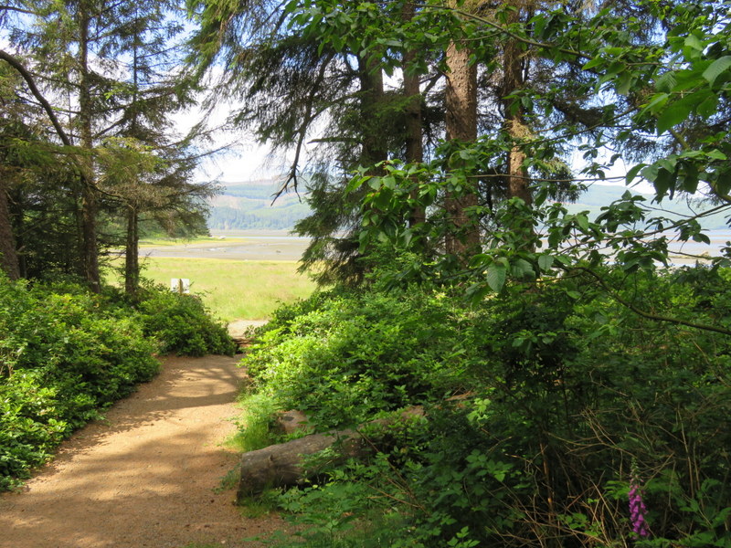
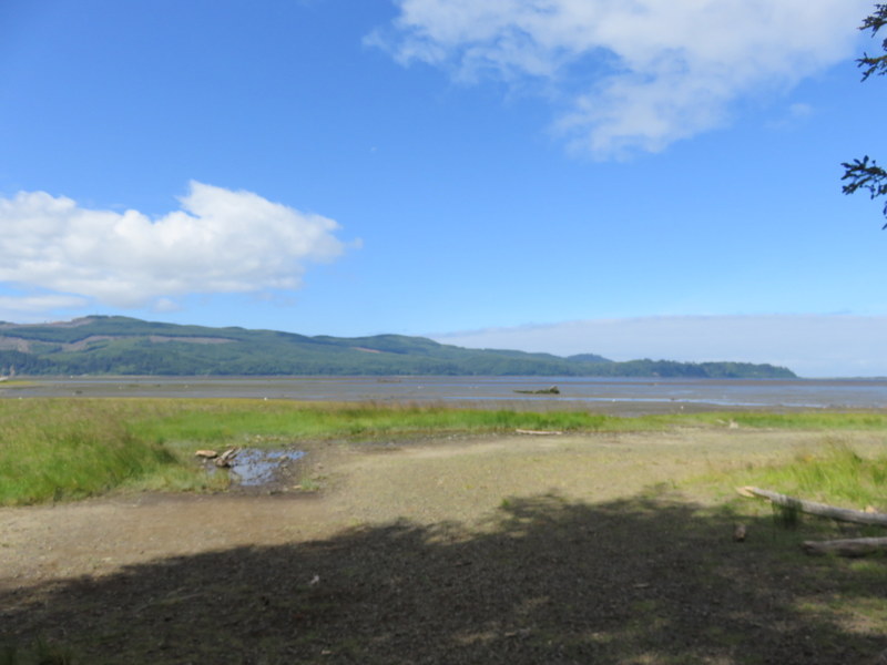
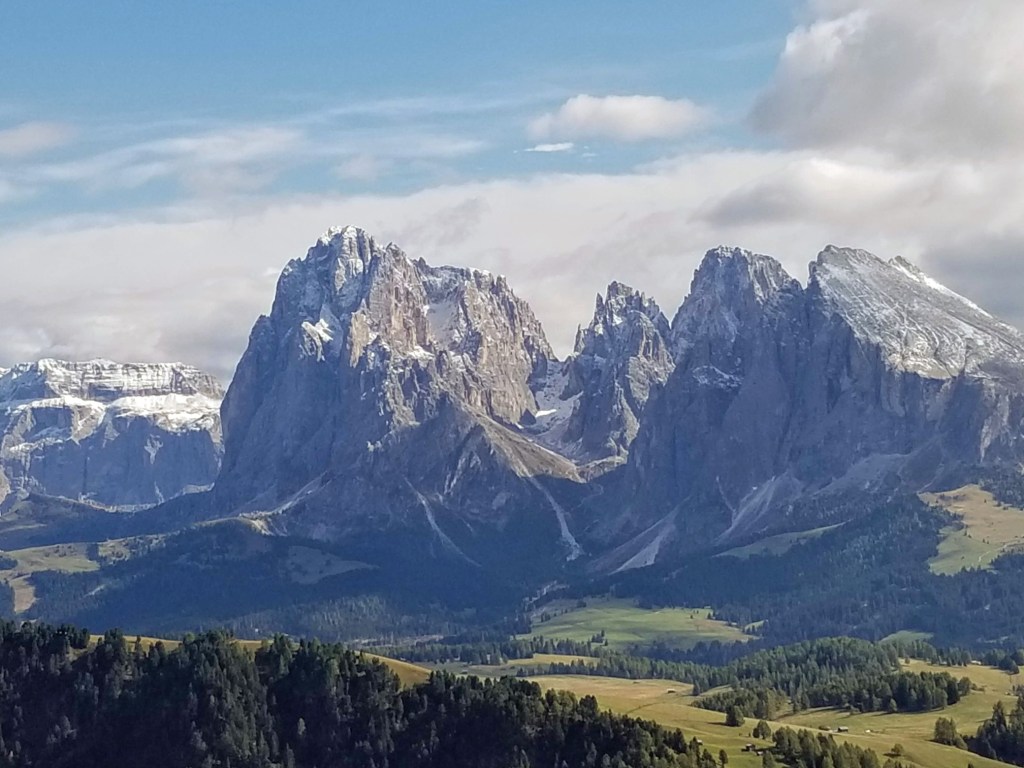
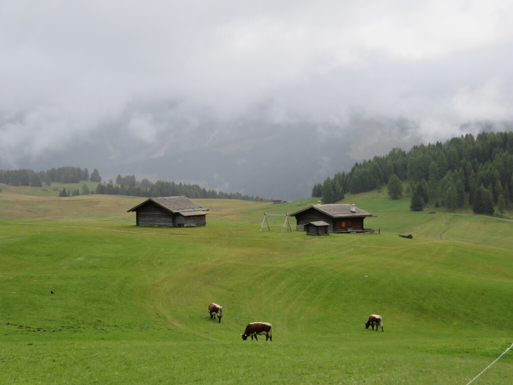
It takes some effort to get to one of the Val Gardena villages in Italy or the Lauterbrunnen Valley in Switzerland, whether in combination of train, bus or taxi, or in your own vehicle. They are a little “off-piste,” that is not near any of the major cities your flight may land in or the other major cities and towns on your itinerary. It takes 6 1/2 hours to get by train and bus from Milan to Ortisei, so a full day.
- Stay for at least three nights to make the journey worthwhile, but you will never regret spending a week in either area. Either area may become the centerpiece of your vacation. The more nights you spend, the more full days you have for activities. Bear in mind that three nights equals only two full days of hiking or touring.
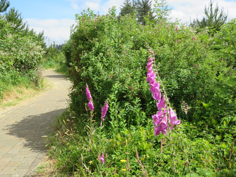
- Select your lodging carefully. You want to be within walking distance of restaurants and shops so avoid options that require transportation just to get to dinner or the grocery store. A “good deal” that is 4 kilometers from the village center might be a drag. Call up Google Maps and locate the lodging you are contemplating, then using the ‘Directions’ button, check the transportation options to/from the train station, grocery stores, and restaurants. Can you walk? Where does the bus run?
- Make sure you can handle the walk to and from your hotel or apartment. It is no fun to find out you have to climb a steep hill for 10 minutes every time you go “home.” After all, you are in the mountains. Locals think nothing of telling you “It’s easy;” they’ve been climbing mountains since they were three-years-old. Google Maps will show you a walking route with elevation.
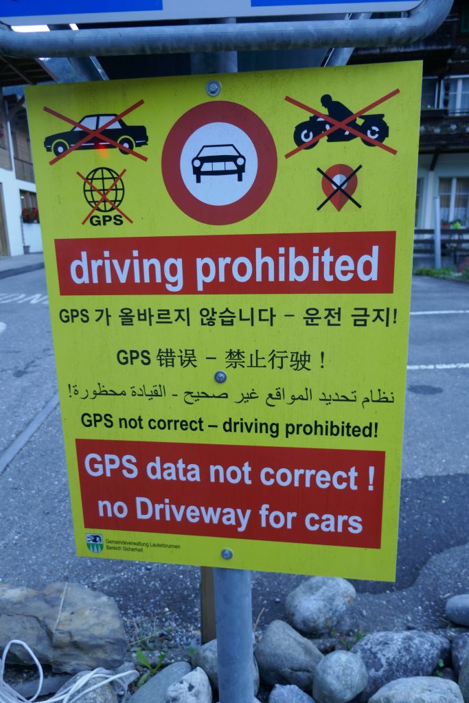
- Rethink the car. You can have a carefree car-free trip. In the Val Gardena, your host supplies a bus pass good for the duration of your stay and all the way back to Bolzano when you depart. The buses are efficient from Bolzano and throughout the greater Val Gardena, designed to support locals and visitors alike. As parking can be tricky at some cableways and most trail heads, you’d just leave an expensive rental car parked all the time. Driving the passes may be appealing, but you are competing with large buses and scads of motorcycle riders.
The same is true in Lauterbrunnen where arriving is even easier as the train pulls right into the village. The Swiss have mastered public transportation and parking is expensive so why bother with a car when the trains, cableways, and occasional buses will serve you well? Some of the villages are car-free so your car remains parked – at a cost – for the duration.
- Download directions for your arrival in case you have trouble with maps on your phone. It’s defeating to get off the train and have no idea where your hotel is if Google Maps won’t work for you. At least with a paper map you can show it to someone and ask for help. (We made this error once. Lesson learned.)
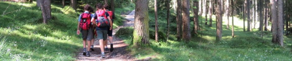
- Prepare a list of walks and hikes you want to take but stay flexible. Perfect weather? Head up high. Wet or cloudy? Pick a lower elevation walk and keep your options open. Hint: peruse our book on the Val Gardena or Berner Oberland and list in advance those that appeal so you can pick-and-choose on a daily basis. We also include rainy day ideas.
- Make the best use of the weather forecast. A rainy morning can lead to a sunny afternoon so start your day and stay flexible for the PM. More often, a bright sunny morning may cloud up quickly midday, so head for the highest elevations as early as possible and seize the day.
- Be aware of your own limitations. Don’t choose a longer or more strenuous hike than you are comfortable with. You’ll still see magnificent landscapes even on the easier walks. Or just joyride some of the cableways or mountain trains. Beautiful in any weather and if you have a pass, no or little added out-of-pocket.
- Plan one major outing for the morning that leads to lunch, then another (shorter) afternoon option for days when you have the energy for more. A rest after lunch for an hour or two can do wonders. Not everyone can go go go for 10 or 12 hours day-after-day!
- Have a rainy day back-up plan. For the Val Gardena, see the Gherdeina Museum in Ortisei or go to Bolzano or Bressanone for the day. Bolzano is home to a great archeological museum featuring Ötzi the iceman. Prepare in advance because a lot of people will have the same idea. When you see rain forecast, make your museum reservation and plan to get the bus to Bolzano as early as possible. While your there, cruise the shops and markets under the protective canopy of the porticos. The Gherdeina Museum is open limited hours so check those, too.
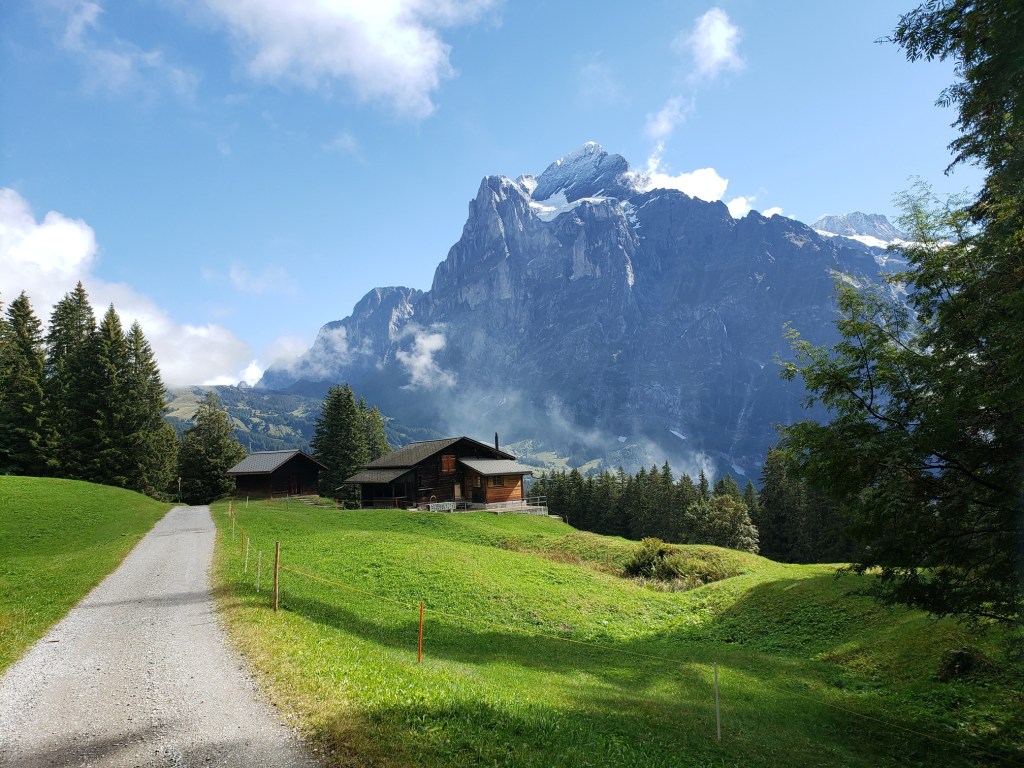
In the Berner Oberland area, our advice is similar: lower elevation walks (along the river, through the valley), make a day of it in Bern, only an hour away by train, ride a boat on one of the lakes. Or just joyride using your Berner Oberland Regional Pass.
- Download apps before you travel and learn how to use them. Some of our favorites are
- SBB for the Swiss transportation system
- Südtirolmobil for the Val Gardena
- MeteoSwiss for Swiss weather (more accurate than many we have in the US)
- Il Meteo for Italian weather
- Trenitalia for Italian trains
You’ll find much more of practical, logistical advice in our books Walking in Italy’s Val Gardena and Walking in Switzerland’s Berner Oberland along with a great selection of easy hikes.
Happy planning!